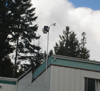
Lighthouse Christian Academy
Lighthouse Christian Academy
Explainer
| No current data available. |
Last 24 Hours / Last Week / Last Month
See larger images | See Grade 4 Plots
Extreme Values | Current Summary
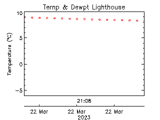
| 22 June | Lowest °C | Average °C | Highest °C | Today °C |
|---|---|---|---|---|
| Minimum | 7.5 | 10.5 | 12.6 | |
| Average | 12.8 | 15.4 | 18.2 | |
| Maximum | 17.4 | 21.1 | 23.1 |
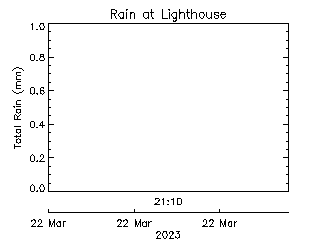
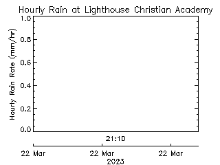
Last Rain Observed: 0.5 mm on 2022-12-09 (1291 days ago).
Station installed: 2010-09-21. ID: 169
1289 Parkdale Drive, Victoria B.C. V9B 4G9