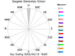
Sangster Elementary School
Sangster Elementary School
Explainer
| No current data available. |
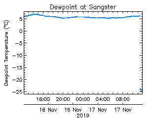
Last 24 Hours / Last Week / Last Month
See larger images | See Grade 4 Plots
Extreme Values | Current Summary
| 22 June | Lowest °C | Average °C | Highest °C | Today °C |
|---|---|---|---|---|
| Minimum | 8.9 | 11.8 | 18.3 | |
| Average | 12.9 | 16.5 | 25.1 | |
| Maximum | 16.7 | 21.3 | 27.6 |
Last Rain Observed: 6.6 mm on 2018-04-07 (2998 days ago).
Station installed: 2006-01-24. ID: 31
3325 Metchosin Road, Victoria, BC V9C 2A4